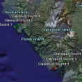
An environmental geography consultancy working with enviro and community orgs in Vancouver and the coastal region.
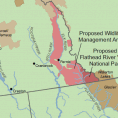
Assembling data and composing maps for a David Suzuki Foundation report on species and habitats which span political jurisdictions.
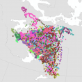
Importing 25 years of Caribou migration data into Google Earth format, time-linking it and smoothing it for animation.
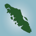
A reference map to intuitively convey compiled information about jurisdiction and location of First Nations Family and Child Services on Vancouver Island.
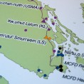
A Google Earth-compatible .kmz file with all the flightline locations for NASA’s AVIRIS hyperspectral sensor, from 2000 to 2006.